Comin soon
Get your Drone pilot card from us.
-
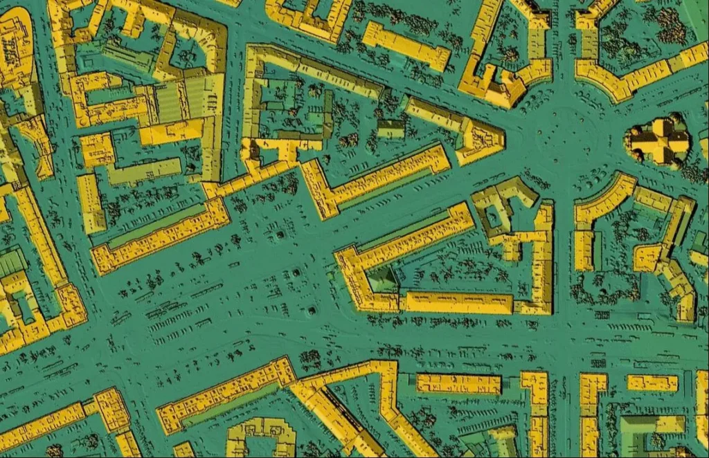
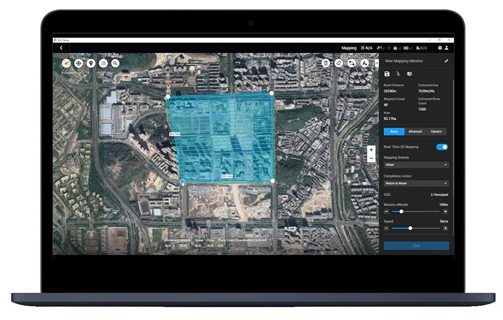
 High-resolution Orthomosaics & Topographic Maps
-
Digital Elevation Models (DEMs) & Digital Surface Models (DSMs)
-
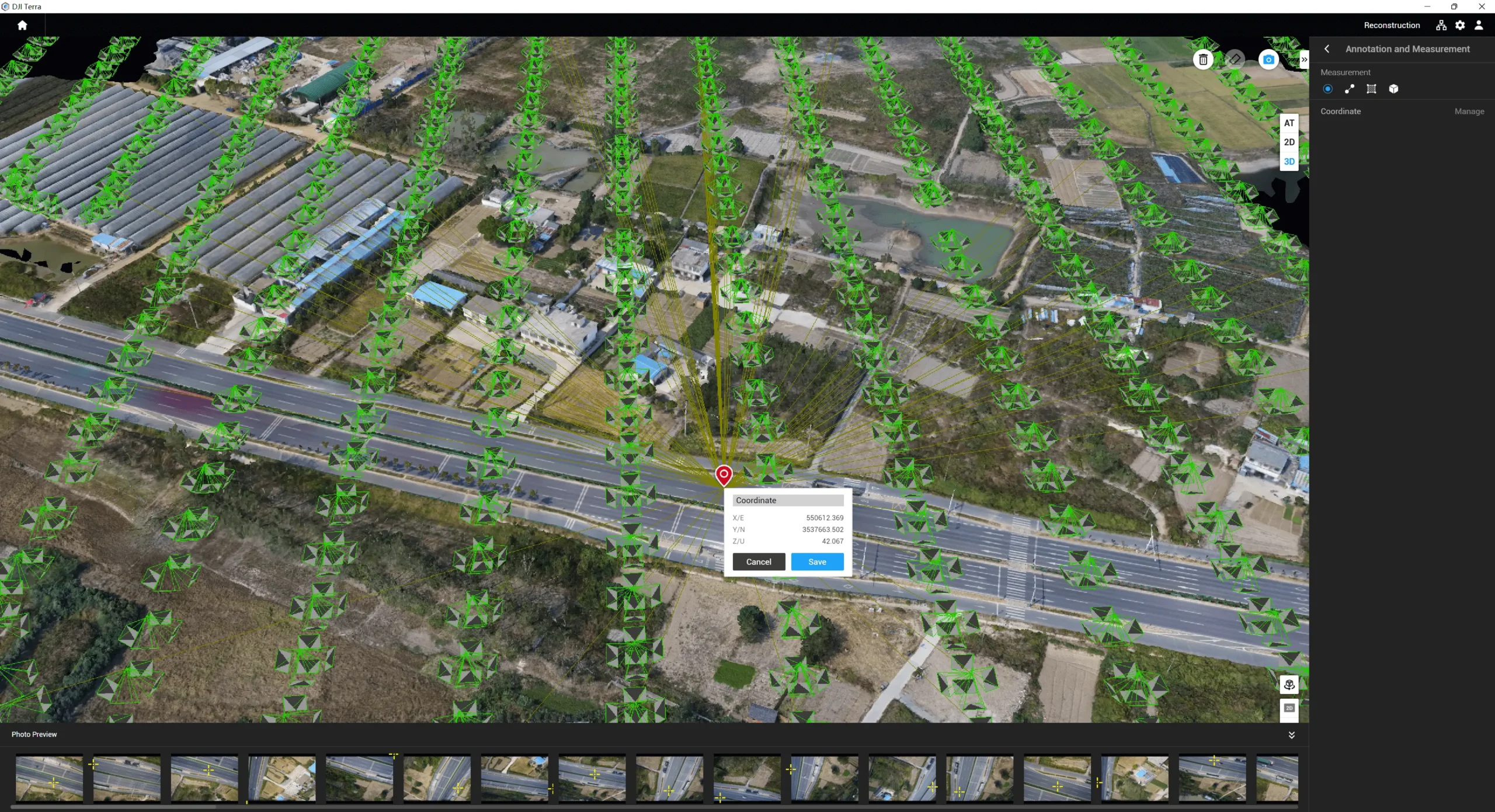
3D Point Clouds & Meshes for Modeling
-
Accurate Contour Lines for Engineering Applications
-
Volume Calculations for Mining and Earthworks
-
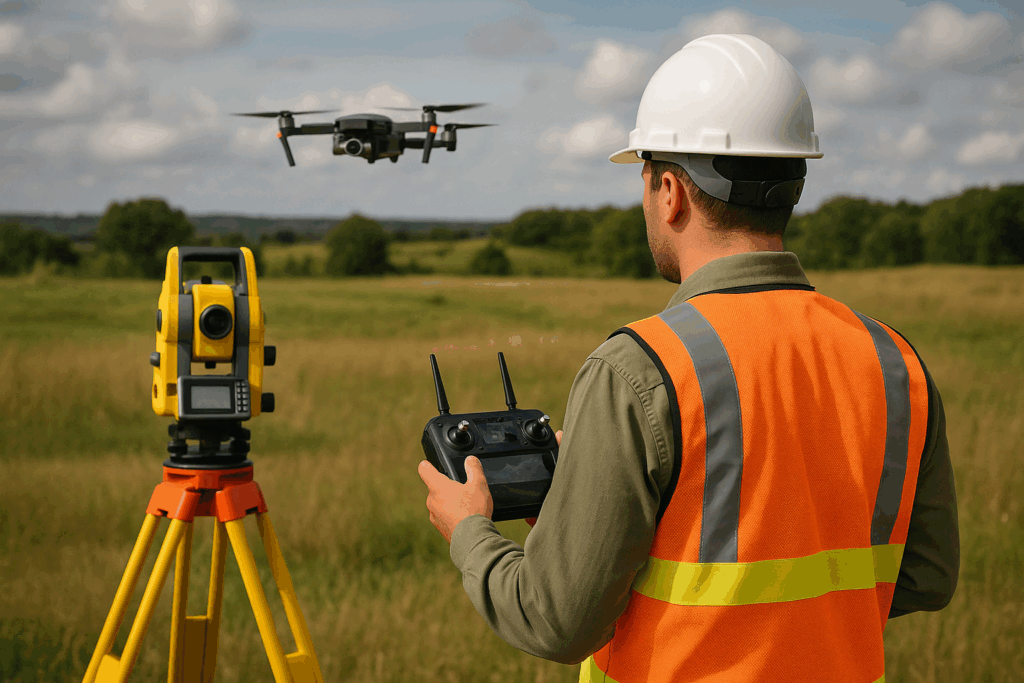
RTK/PPK-Based Geo-referenced Surveys