High-Precision Aerial Imaging for Multiple Industries

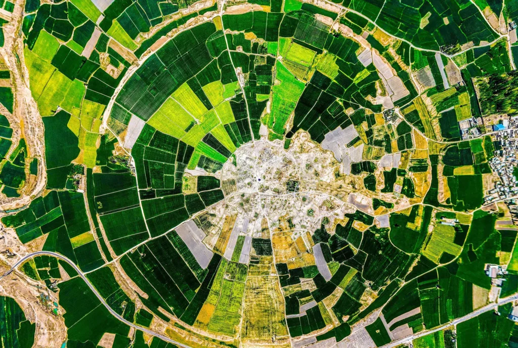
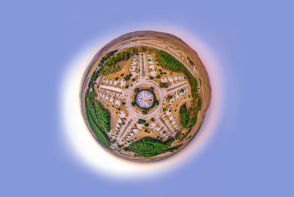
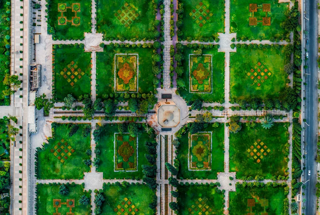
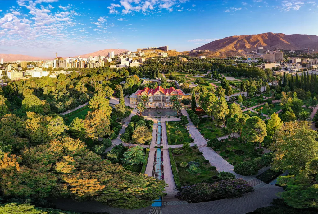
Aerial imaging and remote sensing are at the heart of modern drone technology applications. At Irsa Drone, we provide cutting-edge aerial photography and sensing services designed to capture, analyze, and deliver valuable visual data. Whether for cinematic production, land surveying, agriculture, or environmental monitoring, our imaging solutions are powered by advanced drones and sensor technologies to ensure precision, clarity, and actionable insight.


Our services include high-resolution RGB photography, thermal imaging, multispectral analysis, and 3D mapping. With expert pilots and certified operators, we ensure safe and efficient data capture from above  transforming ordinary visuals into powerful tools for decision-making and storytelling.

Service Process

01. Understanding Your Objectives

We consult with you to understand the specific visual data requirements for your project — from artistic cinematography to agricultural health mapping.

We choose the optimal drone and sensor combination and develop a flight plan based on altitude, lighting, terrain, and permission protocols.

Our certified drone operators capture high-quality aerial data with accuracy and efficiency using stabilized cameras and industry-standard methods.

Collected data is processed using advanced software to generate the desired formats: high-res images, thermal reports, NDVI maps, or 3D models — delivered securely and promptly.

  • Understanding Your Objectives

Services Outcome

  • icon Ultra-HD Aerial Photography and Video (up to 8K)
  • icon Thermal and Multispectral Imaging
  • icon NDVI and Crop Health Analysis
  • icon Digital Surface Models (DSM) and Orthomosaics
  • icon 360° Panoramic Imaging for Marketing and Real Estate
  • icon Cinematic Drone Shots for Documentaries and Ads