Aerial Imaging & Sensing with Irsa Drone in Iran & GCC
Empowering Industries with Precision Aerial Imaging
At Irsa Drone, we specialize in providing high-precision aerial imaging and remote sensing services that empower decision-makers across a variety of sectors, including agriculture, construction, film, real estate, energy, and environmental management. Operating from Iran with a growing presence in the Gulf Cooperation Council (GCC) region, Irsa Drone is one of the most experienced drone technology centers in the Middle East.
 With over a decade of experience, we have established a robust portfolio of aerial imaging projects — from creating captivating drone visuals for international documentaries to providing detailed multispectral data for agricultural analytics. Our solutions are trusted by clients seeking clarity, accuracy, and efficiency.
Aerial Imaging Expertise
Our aerial imaging services include:
-
Cinematic Aerial Videography: High-resolution cinematic drone filming (up to 8K), ideal for commercial, tourism, and TV productions. We have worked on major international projects such as Kingdom Come and Silk Road with Joanna Lumley.
-
Aerial Photography: RGB photography, 360° panoramic views, architectural and real estate photography.
-
Thermal Imaging: Inspection of infrastructure, solar farms, and environmental monitoring using advanced thermal sensors.
-
Multispectral and NDVI Imaging: Crop health diagnostics, land condition analysis, and environmental assessments.
-
3D Modeling & Orthomosaics: Digital surface models (DSM), topographic mapping, and visual modeling using photogrammetry.
All operations are conducted by certified drone pilots under full regulatory compliance with Iran’s Civil Aviation Organization.
Innovation through Knowledge
Our founder, Amin Malekzadeh, is a pioneer in aerial cinematography in Iran. His book, Cinematic Techniques in Drone Filmmaking, is one of the first Persian-language guides on aerial videography and has been widely recognized by drone enthusiasts and professionals. Amin’s experience in aerial photography has earned him global recognition, including awards from FIAP, HIPA, Siena Awards, and 35AWARDS.
Why Choose Irsa Drone?
-
One of the first licensed drone imaging centers in Iran
-
Rich portfolio in both commercial and artistic aerial content
-
Advanced fleet of drones with professional-grade cameras and sensors
-
In-house image processing and analytics team
-
Compliance with aviation safety and legal standards
-
Custom solutions tailored to each project’s geographic and visual requirements

Applications
-
Agriculture and smart farming
-
Cinematic production and documentaries
-
Real estate marketing and architecture
-
Environmental impact studies
-
Infrastructure inspection and thermal diagnostics
-
Urban planning and development
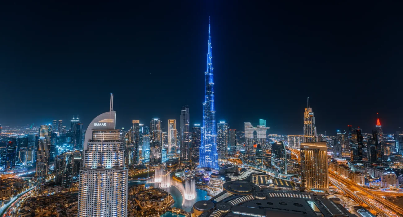
Expanding Horizons in the Gulf Region
With the opening of our Dubai operations, Irsa Drone is now extending its cutting-edge aerial imaging services to clients across the UAE, Qatar, Oman, and Saudi Arabia. We aim to bring the same standard of excellence that made us a leader in Iran to the broader Gulf market.